
ISO
ISO Certified Quality
Every registered point cloud, BIM model, and drawing undergoes a formal quality review before delivery.
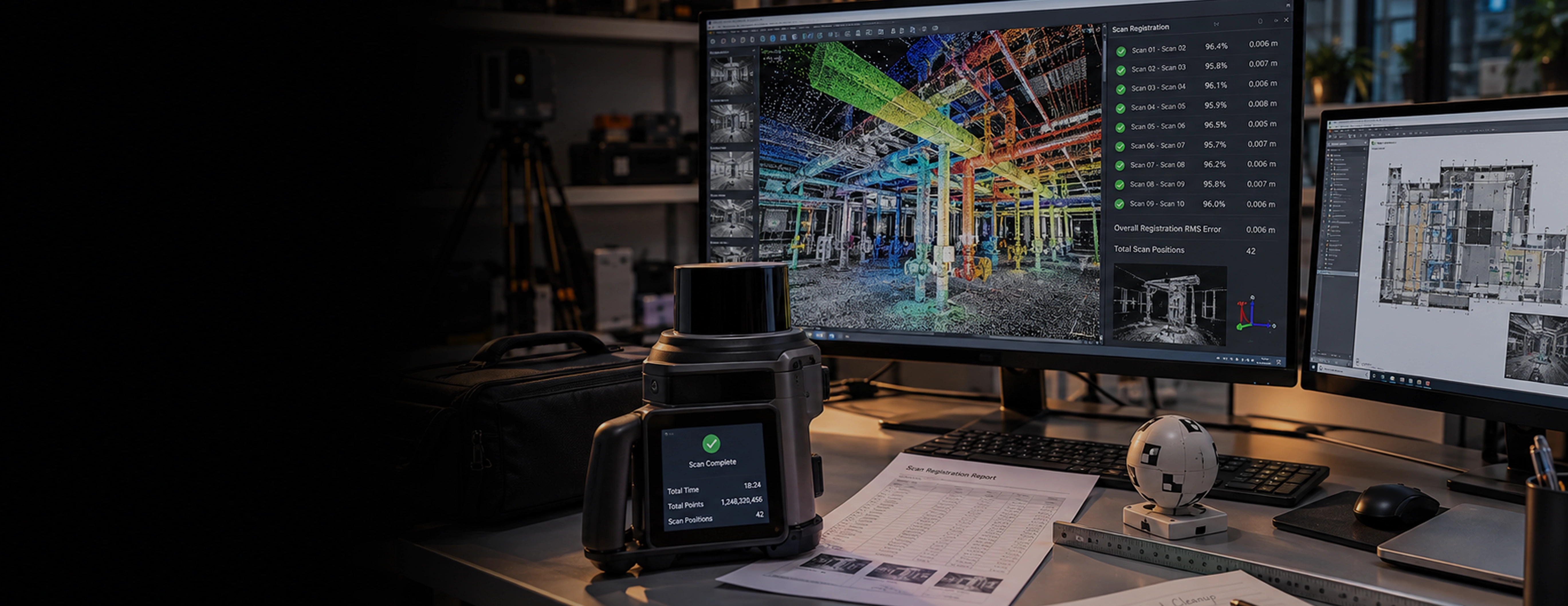
Your drawings show one version of your facility. Your site may tell a different story. Over years of modifications, maintenance, and expansions, existing conditions can differ significantly from original design documentation.
Monarch Innovation uses 3D laser scanning, terrestrial laser scanning, drone photogrammetry, and reality capture technology to create accurate digital point clouds of existing buildings, plants, and infrastructure. This gives architects, engineers, and construction teams reliable site data for renovation, retrofit, expansion, and facility management projects.
17+
Years of Experience
90+
Facilities Scanned
≤5mm
Scan Accuracy
10+
Industries Served
SERVICE OVERVIEW
3D Laser Scanning
3D laser scanning uses LiDAR technology to capture millions of measurement points across a physical environment. The result is a high-density point cloud that accurately represents buildings, structures, equipment, piping, and other site conditions.
Reality Capture
Reality capture combines 3D laser scanning, drone photogrammetry, and 360-degree imaging to document existing site conditions in a digital format. It provides architects, engineers, contractors, and facility teams with reliable information for design, construction, renovation, and asset management.
Together, these technologies replace manual measurements and outdated drawings with accurate digital data that supports better planning, coordination, and project decision-making.
Why Does Reality Capture Matter So Much?
Working from outdated or incomplete drawings creates real problems on real projects:
Design based on old drawings clashes with equipment that has since moved or changed.
Field crews discover conflicts only after fabrication or installation has started.
Renovation and brownfield projects run into surprises that were never documented.
Manual field measurement takes weeks and still leaves gaps and errors.
Remote teams cannot verify site conditions without repeated site visits.
3D scanning and reality capture provide accurate existing condition data, helping project teams make better-informed design, coordination, and construction decisions from the start.
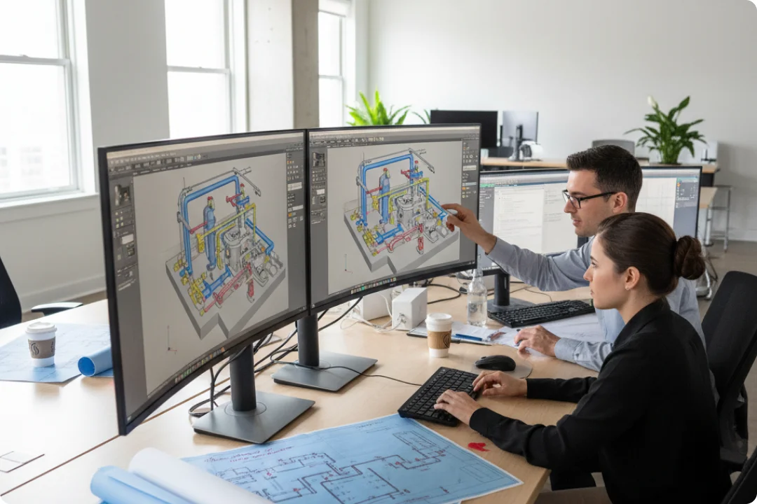
CORE SERVICE OFFERINGS
We provide end-to-end reality capture, from field data collection to finished models. Here is what that includes:

We scan interiors, process units, and tight equipment areas using high-density LiDAR to capture every pipe, structure, and asset with sub-5mm accuracy.
Best for: Process plants and congested equipment areas

We capture large sites, tank farms, and terrain using drone-based photogrammetry and LiDAR, producing accurate topography and site-wide models fast.
Best for: Large industrial sites and greenfield topography

We convert raw point cloud data into intelligent 3D models in Revit, AVEVA E3D, or SmartPlant 3D, ready for design, coordination, and clash detection.
Best for: Brownfield design and facility renovation projects

We extract accurate 2D CAD drawings from the point cloud, including plans, sections, and elevations that reflect exactly what exists on site.
Best for: Permitting, O&M documentation, and facility records

We compare your design model directly against the as-built point cloud to catch clashes, deviations, and installation errors before they become field problems.
Best for: EPC projects and post-installation verification

We deliver a web-based point cloud and 360-degree photo viewer so your team can measure, review, and walk through the site from anywhere.
Best for: Multi-site owners and remote project teams
WHY MONARCH INNOVATION
There are many scanning vendors. Here is what makes Monarch Innovation different:
ISO
Every registered point cloud, BIM model, and drawing undergoes a formal quality review before delivery.
DATA
Our scanning workflows consistently deliver sub-5mm accuracy, verified against survey control on every project.
DELI
Our structured workflows support rapid project mobilization, point cloud processing, and model delivery to keep your project moving.
We continue supporting your project with additional exports, model updates, coordination assistance, and future project phases using the captured reality data.
PROJECT
From a single process unit to a multi-hectare industrial complex, our terrestrial, drone, and mobile scanning methods cover it all.
EXPERT
Our reality capture team works alongside our own piping, layout, and structural engineers, so your point cloud becomes a usable model, not just raw data.
IP
Every point cloud, model, drawing, and project deliverable belongs entirely to you. Monarch Innovation retains no ownership or licensing rights over your deliverables.
OUR ENGAGEMENT PROCESS
Here is how a typical reality capture project works when you engage Monarch Innovation:
01
Tell us what needs to be captured, the site boundaries, access constraints, and how you plan to use the deliverables, whether for design, verification, renovation, or documentation.
02
We select the most suitable combination of terrestrial laser scanning, drone photogrammetry, or mobile mapping, then define scan locations, survey control, and the project schedule.
03
Our field team captures high-density 3D scan data while coordinating with your site operations and project requirements.
04
Individual scans are registered into a unified point cloud and processed before point cloud modeling or analysis begins.
05
Based on your project scope, we create Scan-to-BIM models, 2D as-built drawings, clash detection reports, digital twins, or web-based reality viewers.
06
You receive the completed deliverables along with supporting documentation, and our team remains available for additional exports, coordination, and future project updates.
BUSINESS BENEFITS
Accurate existing condition data supports better decision-making throughout design, construction, and facility operations.
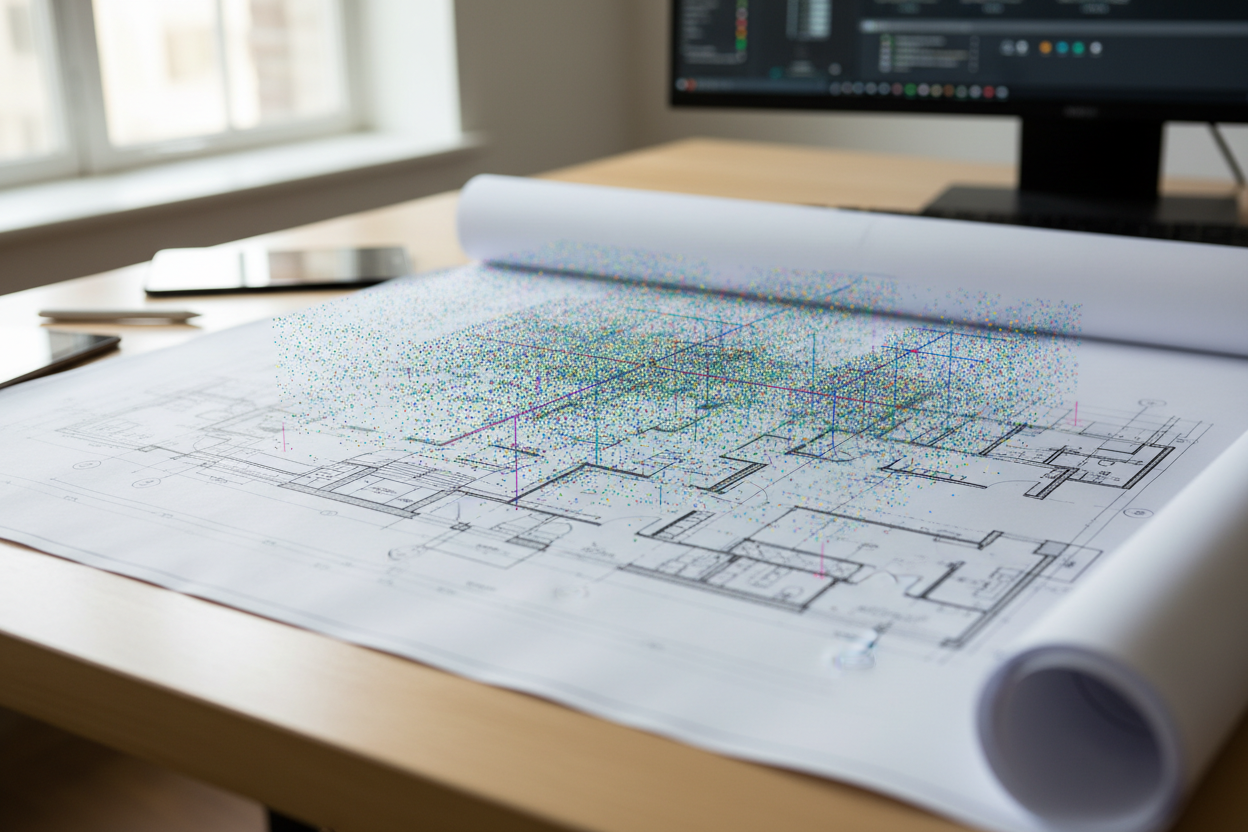
Designing with verified existing conditions helps reduce coordination issues, rework, and design changes caused by outdated drawings.

A ready-to-use point cloud enables architects and engineers to begin design and modeling without extensive manual site measurements.
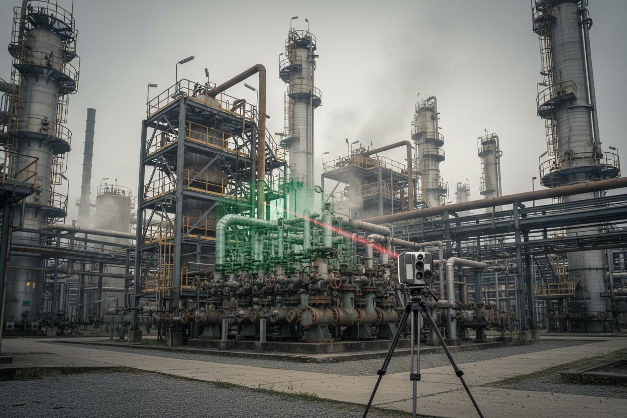
Remote 3D scanning helps reduce the need for personnel to access hazardous or difficult-to-reach areas for measurements.
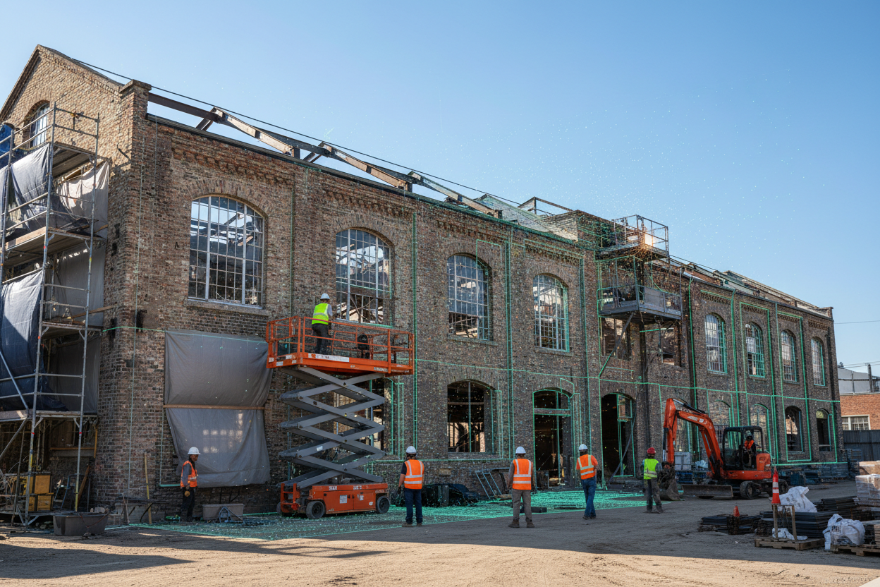
Reality capture provides reliable existing condition data for renovation, retrofit, and expansion projects.

Web-based point cloud viewers allow project teams to review, measure, and coordinate site conditions from virtually anywhere.
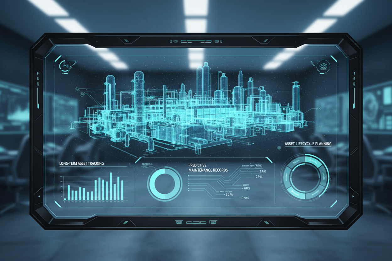
Point clouds and reality capture data provide a valuable reference for future maintenance, facility management, renovations, and asset lifecycle planning.
Capture Every Detail. Build with Confidence. Turn Real-World Assets into Precise Digital Models.
Talk to Our ExpertsTECHNOLOGIES WE USE
We work with industry-leading scanning hardware and processing platforms, so your deliverable matches your team's existing workflow.
Leica RTC360 and BLK360
FARO Focus terrestrial scanners
Trimble X7 scanners
Drone-mounted LiDAR and photogrammetry rigs
Leica Cyclone and Cyclone REGISTER 360
Autodesk ReCap and ReCap Pro
FARO SCENE
Reality Cloud Studio
Autodesk Revit and AutoCAD Plant 3D
AVEVA E3D and PDMS
Intergraph SmartPlant 3D
Bentley OpenPlant and MicroStation
Navisworks (clash detection)
ProjectWise and Aconex
SmartPlant Foundation
Web-based point cloud viewers
OUR ENGINEERING EDGE
We capture process units, tank farms, pipelines, and offshore facilities to support brownfield design, turnarounds, and plant expansions
We document boiler houses, turbine halls, substations, and balance-of-plant facilities for retrofit, modernization, and asset management projects.
We capture congested process areas where accurate existing condition data supports engineering and facility modifications.
We document cleanrooms, laboratories, and production areas to support renovation, expansion, and facility upgrades.
We use terrestrial laser scanning and drone LiDAR to capture processing plants, conveyors, and large mining facilities.
We document treatment plants, process equipment, and piping systems for upgrade, expansion, and maintenance projects.
We capture production lines, utility systems, and equipment layouts to support plant modifications and operational improvements.
We provide reality capture, Scan-to-BIM, and as-built documentation for building renovations, facility management, and long-term asset planning.
FAQ SECTION
Monarch Innovation gives you accurate scan data, experienced engineers, and models your team can design with confidence.